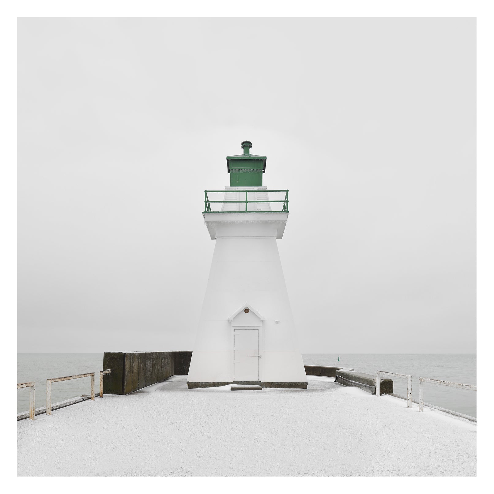
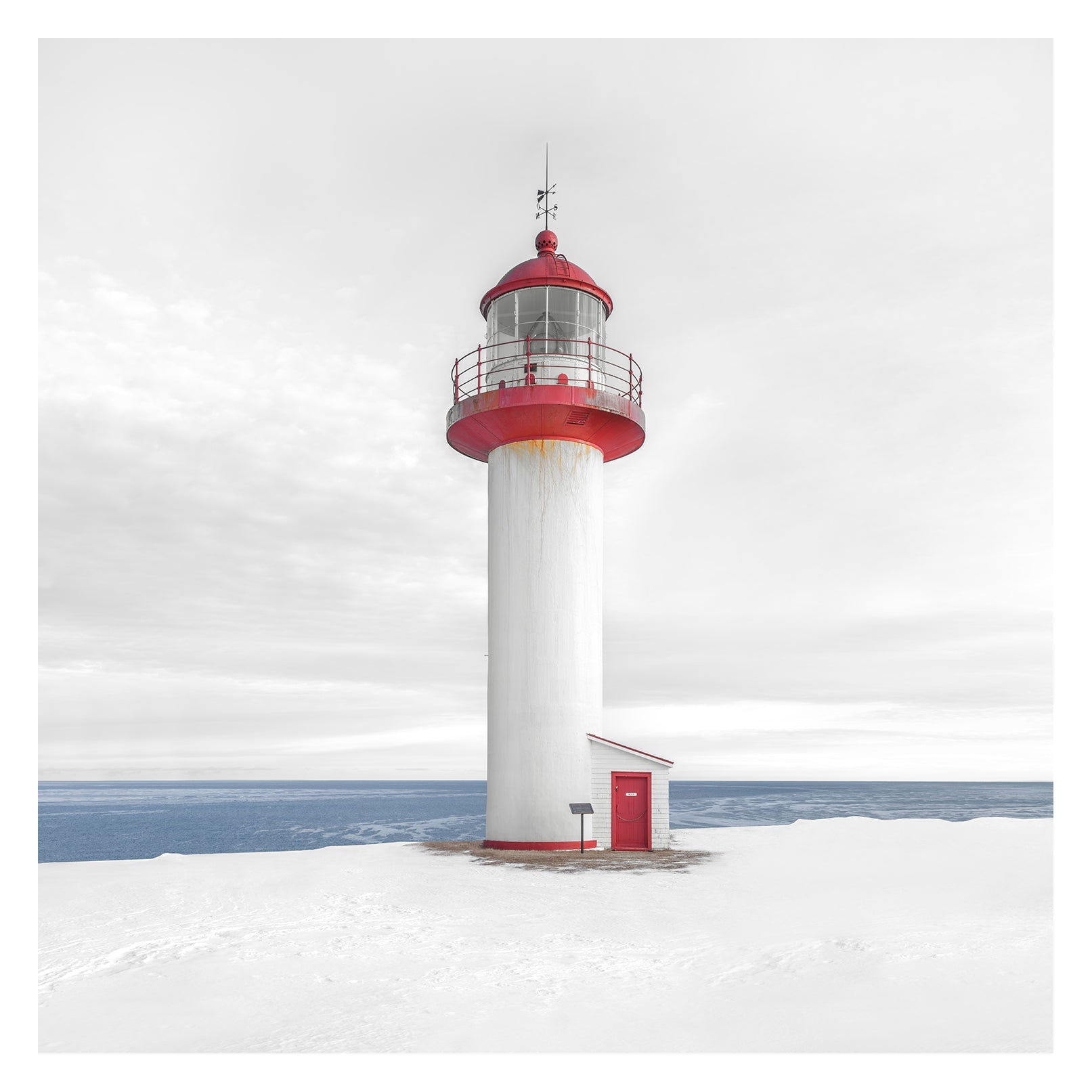
Lighthouse # 008, Port Dover, Lake Erie, Ontario, Canada, 2023
$2,800.00
Height | 45 feet (13.7 meters)
Geographic position | 42°46'52.0"N 80°12'06.0"W
Elevation on earth | 568 ft
The history of Port Dover, Ontario, is filled with interesting events and developments, such as the Raid on Port Dover during the War of 1812, the opening of rail service in the late 1800s, and the establishment of lighthouses to guide ships into the harbor. The first settlement, known as Dover Mills, was destroyed by American troops in 1814. A new settlement was established at the mouth of the Lynn River in 1835, but it was not until the arrival of rail service in the 1870s that the population grew significantly. Two railroads served Port Dover before they were acquired by the Grand Trunk Railway, and a cross-lake railcar ferry arrived in 1895. The town's first lighthouse was erected in 1845, and a new tower was built in 1904, which remains active today. The lighthouse was declared surplus by the Canadian Coast Guard in 2014, and ownership was transferred to Norfolk County to preserve the iconic structure.
Ref.: lighthousefriends.com
Limited Edition Archival Photograph
The photograph is printed in my atelier with archival pigment ink on archival fine art paper, 100% cotton fibre and acid free. The piece is numbered, signed and delivered unframed with a certificate of authenticity.
Please contact me for a conversation about this photograph or framing options.
[+ Inquire ]
Related Photographs

Lighthouse # 012, La Martre, Fleuve St-Laurent, Gaspésie, Québec, Canada, 2024
$2,800.00
Height | 63 ft. (19.2 m) Geographic position | 49°12'22.1"N 66°10'16.8"W Elevation on earth | 72 ft. (22 m) La Martre Lighthouse, named after Marten...
View full product details
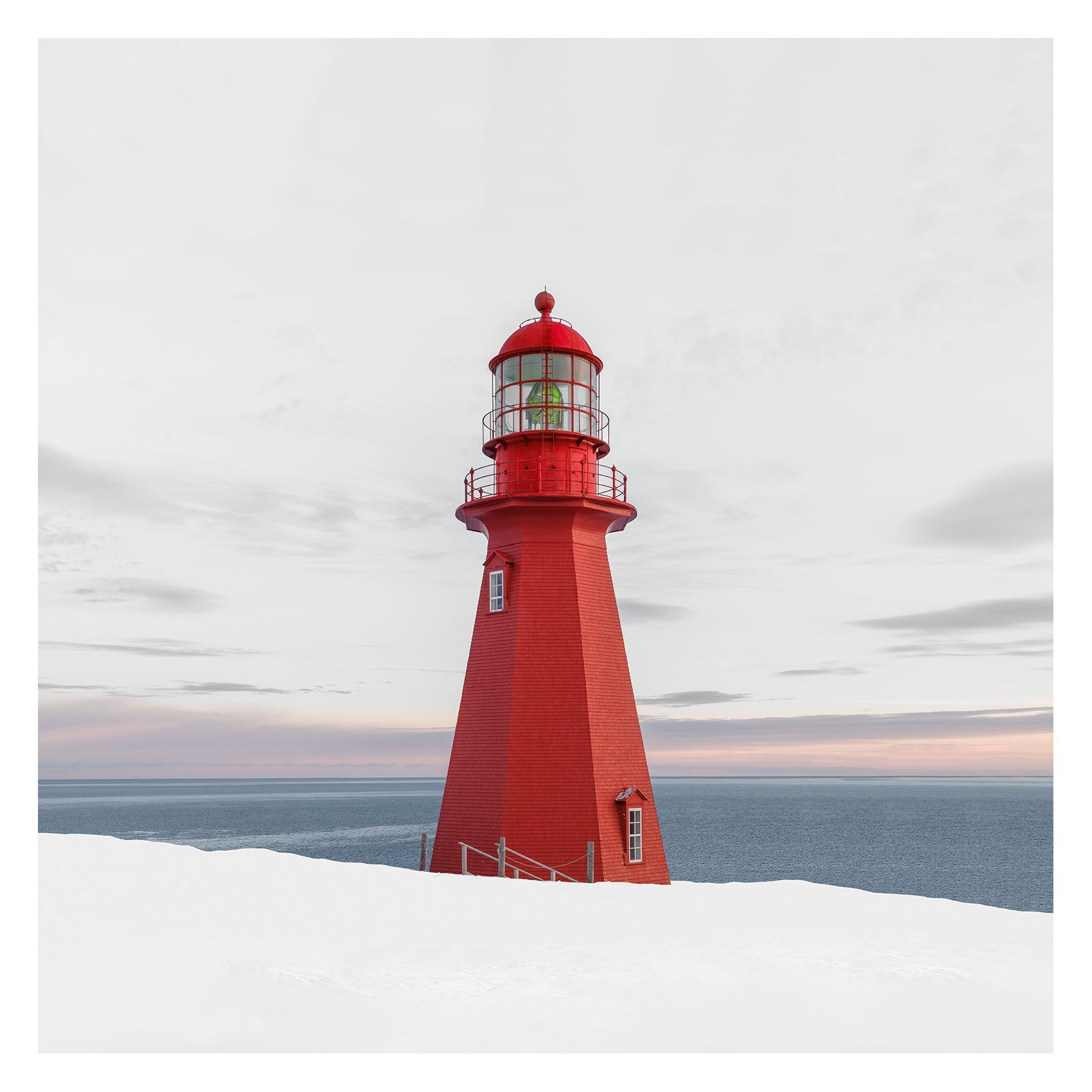
Lighthouse # 016, Cap d'Espoir, Golfe du St-Laurent, Québec, Canada
$2,800.00
Height | 46 ft. (14 m) Geographic position | 48°25'08.0"N 64°19'05.2"W Elevation on earth | 39 ft. (12 m) Cap d’Espoir Lighthouse, is situated at...
View full product details
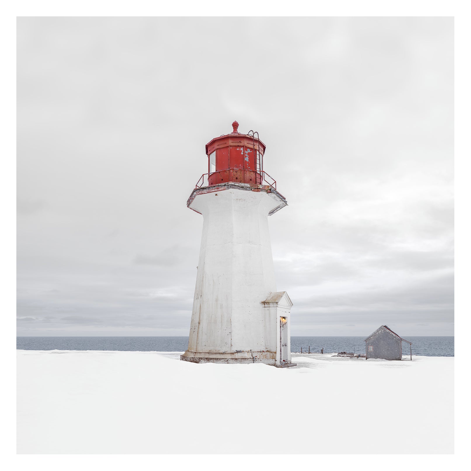
Lighthouse # 018, Cap de la Madeleine, Fleuve St-Laurent, Québec, Canada, 2024
$2,800.00
Height | 55 ft. (17 m) Geographic position | 49°15'04.0"N 65°19'31.1"W Elevation on earth | 49 ft. (15 m) Cap de la Madeleine Lighthouse, located...
View full product details